Back Parque nacional de Darrah Spanish દર્રાહ રાષ્ટ્રીય ઉદ્યાન Gujarati दर्राह राष्ट्रीय उद्यान Hindi ദറാഹ് ദേശീയോദ്യാനം Malayalam داراہ نیشنل پارک PNB தார்ரா தேசியப் பூங்கா Tamil దర్రః జాతీయ ఉద్యానవనం Tegulu
| Mukundara Hills National Park | |
|---|---|
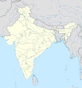
Map of India | |
| Location | Rajasthan, India |
| Nearest city | Kota |
| Coordinates | 24°52′05″N 75°51′22″E / 24.868°N 75.856°E[1] |
| Area | 759.99 km2 (293.43 sq mi) |
| Established | 2004 |
Mukundara Hills National Park is a national park in Rajasthan, India with an area of 759.99 km2 (293.43 sq mi). It was established in 2004 and consists of three wildlife sanctuaries: Darrah Wildlife Sanctuary, National Chambal Sanctuary, and Jawahar Sagar Wildlife Sanctuary. It is located in the Khathiar-Gir dry deciduous forests.[2]
- ^ World Database on Protected Areas (2019). "Darrah in India". Protected Planet United Nations Environment World Conservation Monitoring Centre.
- ^ "Khathiar-Gir Dry Deciduous Forests". Terrestrial Ecoregions. World Wildlife Fund. Retrieved 13 February 2017.

