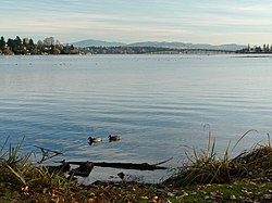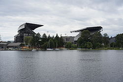


Union Bay is a body of water located in Seattle, Washington. Part of Lake Washington, it is bounded by the Laurelhurst neighborhood to the north and the Montlake and Madison Park neighborhoods to the south. The Evergreen Point Floating Bridge, which carries State Route 520, crosses over a portion of the bay.
Marsh Island and Foster Island are located in Union Bay, and are connected to the mainland (and each other) by the Arboretum Waterfront Trail and the Foster Island Trail. Union Bay ends at the eastern opening of the Montlake Cut, which connects Union Bay with Portage Bay (an arm of Lake Union) to the west—this marks the beginning of the Lake Washington Ship Canal, which runs through Seattle and connects Lake Washington to Puget Sound.
Broken Island is adjacent to Husky Stadium and was formed in 1916 when Lake Washington was lowered several feet by the opening of the Lake Washington Ship Canal. The island, and the wetlands in which it sits on the lake's shore, were "the result of conversion of shallow water lake habitats following lake level lowering."[1] The island's soil is mostly peat laid down from earlier times.[2]
