Back ሳሮኒክ ወሽመት Amharic الخليج الساروني Arabic Saronikos Azerbaijani Сароникос Bashkir Сараніцкі заліў Byelorussian Сараніцкая затока BE-X-OLD Саронически залив Bulgarian Pleg-mor Aigina Breton Golf Sarònic Catalan Saronic Gulf CEB
This article needs additional citations for verification. (January 2016) |
| Saronic Gulf | |
|---|---|
| Σαρωνικός κόλπος (Greek) | |
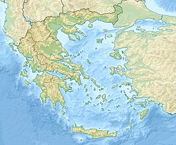
 The Saronic Gulf and its major islands | |
| Location | Attica and the Peloponnese |
| Coordinates | 37°42′N 23°36′E / 37.7°N 23.6°E |
| Type | Gulf |
| Part of | Aegean Sea |
| Basin countries | Greece |
The Saronic Gulf (Greek: Σαρωνικός κόλπος, Saronikós kólpos) or Gulf of Aegina in Greece is formed between the peninsulas of Attica and Argolis and forms part of the Aegean Sea. It defines the eastern side of the isthmus of Corinth, being the eastern terminus of the Corinth Canal, which cuts across the isthmus. The Saronic Islands in the gulf have played a pivotal role in the history of Greece, with the largest, Salamis being the location of a significant naval battle in the Greco-Persian wars. The Megara Gulf makes up the northern end of the Saronic Gulf.
The Athens urban area lies on the north coast of the Saronic Gulf.
