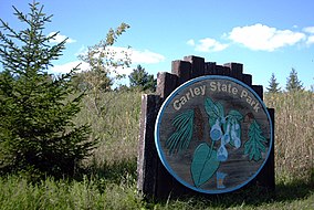
| Carley State Park | |
|---|---|
 Carley State Park entrance | |
| Location | Wabasha, Minnesota, United States |
| Coordinates | 44°6′59″N 92°10′33″W / 44.11639°N 92.17583°W |
| Area | 209 acres (85 ha) |
| Elevation | 1,037 ft (316 m)[1] |
| Established | 1949 |
| Governing body | Minnesota Department of Natural Resources |
Carley State Park is a state park of Minnesota, United States, about 15 miles (24 km) northeast of Rochester and about 2 miles (3.2 km) south of Plainview in Wabasha County. It is used for picnics, camping, hiking, and other outdoor recreation. It is known for the bluebell flowers that bloom there every spring.
It is located in the Driftless Area of Minnesota. This is an area that escaped glaciation during the last ice age, i.e. the Wisconsinian glaciation.
- ^ "Carley State Park". Geographic Names Information System. United States Geological Survey. January 11, 1980. Retrieved February 23, 2011.


